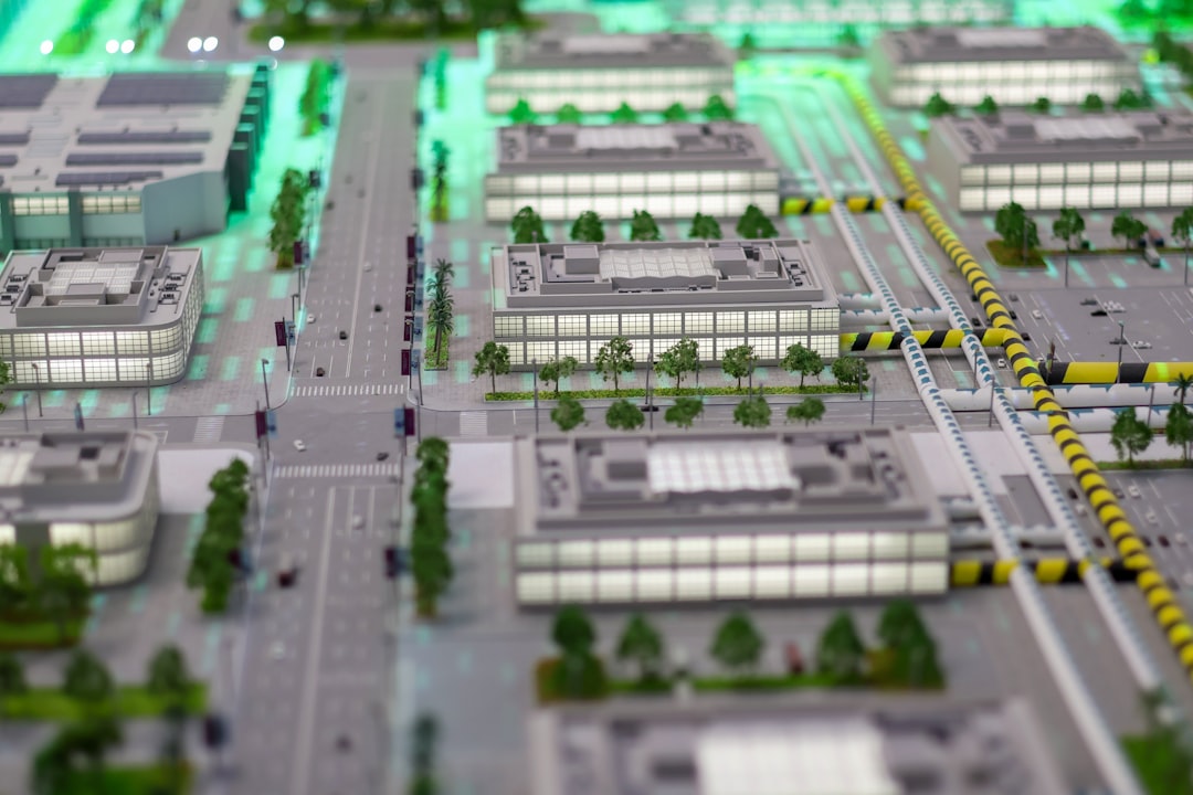
Virtual reality has moved beyond games and demos into practical work such as surveying, construction planning, training, facility management, and location-based analysis. VR Mapper is commonly used to describe software that helps convert real-world spaces, maps, scans, or design data into an interactive virtual environment where users can inspect, measure, annotate, and understand spatial information more intuitively.
TLDR: VR Mapper is a virtual reality mapping solution or workflow used to turn geographic, architectural, drone, LiDAR, or 3D model data into immersive environments. It is useful for planning, inspections, training, safety reviews, real estate visualization, and digital twin projects. Its key strengths usually include 3D visualization, spatial measurement, annotations, collaboration, and support for VR headsets. Alternatives include GIS platforms, photogrammetry tools, game engines, BIM viewers, and digital twin software.
What Is VR Mapper?
VR Mapper refers to a tool, platform, or mapping workflow that allows users to visualize spatial data in virtual reality. Instead of viewing a flat map, CAD drawing, drone survey, or 3D model on a screen, users can step inside the environment and experience scale, distance, layout, and terrain in a more natural way.
In practical terms, VR Mapper may combine elements of GIS mapping, 3D modeling, photogrammetry, LiDAR visualization, and VR interaction. It can help turn data from drones, laser scanners, satellite imagery, CAD software, BIM models, or mapping databases into virtual scenes that can be explored through a headset or a desktop viewer.
The term is not always limited to one specific type of software. In some industries, it may describe a dedicated VR mapping application. In others, it may refer to a custom workflow built using tools such as GIS software, 3D engines, and VR hardware. The common purpose is the same: to make spatial information easier to explore, explain, and use.

How VR Mapper Works
VR Mapper typically starts with source data. This may include aerial imagery, elevation data, point clouds, 3D meshes, architectural drawings, floor plans, or geographic layers. The software then processes or imports this information and places it into a three-dimensional environment.
Once the virtual space is prepared, users can navigate through it using a VR headset, controllers, keyboard, mouse, or a large display. They may be able to zoom, walk, fly, measure distances, mark locations, compare design versions, or review site conditions. Some systems also allow multiple people to meet inside the same virtual environment for collaborative review.
This approach is especially valuable when spatial relationships matter. A two-dimensional map may show where objects are located, but VR can reveal how those objects feel in relation to height, depth, visibility, accessibility, and surrounding context.
Key Features of VR Mapper
Although features vary depending on the platform, most VR mapping solutions include several core capabilities.
- Immersive 3D visualization: VR Mapper allows users to view terrain, buildings, roads, interiors, landscapes, or infrastructure in a realistic three-dimensional space.
- Data import support: Many tools support files from GIS, CAD, BIM, drone mapping, LiDAR scanning, and 3D modeling applications.
- Measurement tools: Users may measure distance, elevation, area, volume, or clearance directly inside the virtual scene.
- Annotations and markers: Notes, labels, pins, issue markers, and comments can be placed in specific locations for review or collaboration.
- Layer management: Maps often contain multiple layers, such as roads, utilities, property boundaries, structures, vegetation, and terrain. VR Mapper may allow users to toggle these layers on and off.
- Navigation modes: Common movement options include walking, teleporting, flying, orbiting, and scaling the environment up or down.
- Collaboration features: Some platforms support shared sessions where teams can review a site together from different locations.
- Export and reporting: Users may export screenshots, videos, measurements, issue lists, or updated models for documentation.
- Device compatibility: VR Mapper may work with headsets such as Meta Quest, HTC Vive, Varjo, Windows Mixed Reality devices, or PC-based VR systems.
Benefits of Using VR Mapper
The main benefit of VR Mapper is spatial understanding. People often interpret scale and layout more effectively when they can experience a place at human scale. This can reduce confusion, improve decision-making, and make technical information more accessible to non-specialists.
Another advantage is early issue detection. In construction, engineering, and urban planning, design problems may be easier to identify in VR than in drawings or spreadsheets. Conflicts involving sightlines, access routes, equipment placement, or safety zones can become obvious when viewed from inside the environment.
VR Mapper can also improve communication. A planner, engineer, client, and contractor may not interpret a technical drawing in the same way, but an immersive model gives them a shared visual reference. This can reduce misunderstandings and help teams reach decisions faster.
Common Use Cases for VR Mapper
Urban Planning and Smart Cities
City planners can use VR Mapper to visualize neighborhoods, transportation networks, zoning changes, public spaces, and proposed developments. Instead of relying only on maps or renderings, stakeholders can experience how a new building might affect sunlight, traffic flow, pedestrian movement, or skyline views.
Construction and Architecture
Architects, engineers, and contractors can use VR Mapper to review building models, site layouts, utilities, and access routes. The technology can support design validation, clash review, safety planning, and client presentations. It is especially useful when combined with BIM data, because building information can be linked to virtual objects.
Drone Mapping and Surveying
Surveyors and drone operators often produce orthomosaics, elevation models, and 3D reconstructions. VR Mapper can turn those outputs into immersive environments for terrain inspection, stockpile measurement, land development planning, mining analysis, or environmental monitoring.
Real Estate and Property Development
Developers and real estate professionals can use VR mapping to present land parcels, future buildings, surrounding amenities, and neighborhood context. Buyers, investors, or approval boards may better understand a project when they can virtually explore it before construction begins.
Training and Simulation
Organizations can use VR Mapper to build realistic training spaces based on actual locations. Emergency responders, utility workers, military teams, factory staff, and site inspectors can practice procedures in a safe environment before entering the real location.
Facility Management
Large facilities such as campuses, hospitals, airports, factories, and warehouses can be mapped into VR environments. Maintenance teams may use these models to locate assets, inspect infrastructure, plan renovations, or train new staff on complex layouts.
Environmental and Disaster Planning
VR Mapper can help visualize flood zones, wildfire risk, coastal erosion, landslides, or evacuation routes. Immersive risk visualization may help officials, engineers, and communities understand hazards more clearly and plan better responses.
Who Uses VR Mapper?
VR Mapper is most relevant to professionals who work with physical spaces and spatial data. This includes GIS specialists, surveyors, architects, engineers, city planners, construction managers, environmental consultants, drone pilots, real estate developers, and facility managers.
It can also be valuable for executives, clients, public agencies, and community stakeholders who may not have technical mapping expertise. VR makes complex spatial information easier to understand because it presents data visually and interactively rather than only through technical documents.
Limitations of VR Mapper
Despite its advantages, VR Mapper is not always the best solution for every project. High-quality immersive mapping can require powerful computers, accurate data, specialized headsets, and careful model optimization. Large point clouds or detailed city models may be difficult to render smoothly without performance tuning.
Another limitation is data accuracy. VR can make a model feel realistic, but realism does not automatically mean precision. If the original survey, scan, or map data is outdated or inaccurate, the VR environment will inherit those problems.
There is also a learning curve. Teams may need training to prepare source data, manage file formats, use VR hardware, and interpret virtual measurements correctly. For simple mapping tasks, a traditional GIS viewer or 2D plan may still be faster and more practical.
Best Alternatives to VR Mapper
Organizations considering VR Mapper may also compare it with related tools. The best alternative depends on whether the goal is mapping, modeling, collaboration, simulation, or presentation.
- ArcGIS and other GIS platforms: Traditional GIS tools are ideal for spatial analysis, mapping layers, location intelligence, and professional geodata management. They may be better for analytics, while VR Mapper is better for immersive understanding.
- Cesium-based tools: Cesium is widely used for streaming 3D geospatial data, terrain, and city-scale models. It can be combined with engines such as Unreal Engine for high-quality geospatial visualization.
- Unity: Unity is a flexible real-time 3D engine used to build custom VR mapping applications, simulations, and training environments. It requires development skills but offers strong customization.
- Unreal Engine: Unreal Engine is known for high-end visuals and real-time rendering. It is a strong option for architectural visualization, digital twins, city models, and interactive VR environments.
- Twinmotion: Twinmotion is popular for architecture and construction visualization. It is easier to use than full game engines and works well for immersive presentations.
- Blender: Blender can be used to prepare, clean, optimize, and visualize 3D models. It is not a dedicated GIS tool, but it is useful in VR content creation workflows.
- Pix4Dmapper: Pix4Dmapper is a photogrammetry tool used to process drone imagery into maps, point clouds, and 3D models. It can provide data that later feeds into VR visualization.
- DroneDeploy: DroneDeploy supports drone mapping, site documentation, and progress tracking. It is especially relevant for construction, agriculture, mining, and surveying workflows.
- Matterport: Matterport is widely used for capturing and presenting interior spaces. It is a strong alternative for real estate, facilities, hospitality, and property documentation.
- NavVis: NavVis focuses on reality capture and indoor spatial intelligence, making it useful for large buildings, factories, and enterprise facility mapping.
How to Choose the Right VR Mapping Solution
When evaluating VR Mapper or an alternative, an organization should first define its main objective. A city planning team may need accurate geospatial layers, while a construction team may prioritize BIM integration. A training department may care more about interaction and simulation than survey-grade accuracy.
Important selection criteria include file compatibility, headset support, collaboration features, measurement accuracy, rendering performance, ease of use, and integration with existing software. Cost should also be considered, including licensing, hardware, training, and ongoing model maintenance.
For many teams, the best approach is a combined workflow. A GIS platform may manage authoritative map data, a photogrammetry tool may process drone imagery, and a real-time engine may deliver the final VR experience. In this sense, VR Mapper is often part of a broader digital ecosystem rather than a standalone replacement for every mapping tool.
Conclusion
VR Mapper represents the growing connection between mapping, 3D visualization, and immersive technology. It helps users move beyond flat maps and static models by placing spatial information into an environment that can be explored at human scale.
Its value is strongest when teams need to understand complex spaces, communicate plans, review site conditions, or train users in realistic environments. While it may not replace GIS, CAD, BIM, or photogrammetry tools, it can complement them by making their data more engaging and easier to interpret.
As digital twins, drone mapping, and immersive collaboration continue to grow, VR mapping tools are likely to become more common across planning, construction, real estate, public safety, and facility management.
FAQ
What is VR Mapper used for?
VR Mapper is used to visualize maps, scans, 3D models, terrain, buildings, and spatial data in virtual reality. It is commonly used for planning, inspections, construction review, training, surveying, and digital twin visualization.
Is VR Mapper the same as GIS software?
No. GIS software is mainly used for spatial data management, mapping, and analysis. VR Mapper focuses on immersive visualization, although it may use GIS data as part of its workflow.
Does VR Mapper require a VR headset?
Many VR mapping tools are designed for headsets, but some also offer desktop viewing modes. A headset provides the most immersive experience, while desktop mode may be easier for quick reviews.
Can VR Mapper use drone data?
Yes. Drone imagery, orthomosaics, elevation models, point clouds, and 3D meshes can often be used in VR mapping workflows, especially after processing in photogrammetry software.
Who benefits most from VR Mapper?
Surveyors, architects, engineers, planners, construction teams, facility managers, real estate developers, and training teams can benefit from VR Mapper when they need better spatial understanding.
What are the best alternatives to VR Mapper?
Common alternatives include ArcGIS, Cesium-based platforms, Unity, Unreal Engine, Twinmotion, Blender, Pix4Dmapper, DroneDeploy, Matterport, and NavVis. The best option depends on the project’s data, budget, and goals.
Leave a Reply